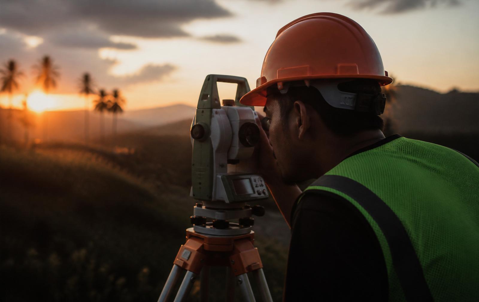
DATUM · PRS92
10+ years of field
experience. Zero
tolerance for error.
10+
Years Field Experience
PRS92
National Datum
10
Core Services
6/7
Field Days Weekly
FRA Surveying and Consultation Services operates from North Caloocan, providing the geodetic data that foundations, titles and developments are built upon.
Our engineers have logged over a decade in the field — re-establishing lost monuments in disputed subdivisions, running topographic surveys across uneven Bulacan terrain, and pushing titling applications through DENR and LRA until the paper actually issues.
What we sell isn't a plan. It's the certainty that when you build, subdivide or transact, the numbers on your title match the ground.
Core Field Services
Every survey we ship complies with the Revised Manual for Land Surveying in the Philippines.
- 01 //
Relocation Survey
Verify boundaries and recover lost monuments.
Read spec → - 02 //
Subdivision Survey
Partition parcels for residential or commercial use.
Read spec → - 03 //
Land Survey
Perimeter and area verification for legal titling.
Read spec → - 04 //
Aerial Survey
Photogrammetry and orthomapping via UAV.
Read spec → - 05 //
Stake Out Survey
Mark structural footings from approved plans.
Read spec → - 06 //
Consolidation Survey
Merge adjacent parcels into a unified title.
Read spec → - 07 //
Verification Survey
Independent QC of existing geodetic data.
Read spec → - 08 //
Topographic Survey
Contour mapping with natural & built features.
Read spec → - 09 //
As-Built Survey
Document actual post-construction conditions.
Read spec → - 10 //
Titling Survey
Full consultation for DENR and LRA titling.
Read spec →

FIELD PLATE 02
"The line you draw on paper will one day be poured in concrete. We make sure the two agree."
Chosen where accuracy is non-negotiable.
- 01
Licensed Geodetic Engineers
Every plan is signed, sealed and defensible in front of DENR-LMS and the courts.
- 02
PRS92 & RTK-GNSS as default
No shortcut datums or handheld GPS. All work ties into national control monuments.
- 03
End-to-end government processing
We don't hand you a plan and disappear. We stay on the file until title / approval issues.
- 04
Local knowledge, Metro-wide reach
Based in North Caloocan — familiar with LGU processes across Metro Manila and nearby provinces.
[ § 04 ] Technical FAQ
How long does a typical relocation survey take?+
Field work is usually 1–2 days for a residential lot in Metro Manila, followed by 5–7 working days for the signed and sealed relocation plan.
Do you handle DENR and LRA processing?+
Yes. We can bring the technical work through to approval — subdivision plans, consolidation, and titling packages are filed and followed up on your behalf.
Which datum and equipment do you use?+
All work is referenced to PRS92. We field GNSS RTK receivers and robotic total stations for high-precision boundary and topographic work.
Can you survey outside Caloocan?+
Yes. Our field crews regularly deploy across Metro Manila, Bulacan, Rizal and neighboring provinces. Travel is billed transparently.
How is pricing determined?+
Fees are based on lot area, terrain complexity, deliverables and government processing scope. We issue a written quotation before any field work.
Straight from the site.
"Napakalinaw ng plano at bilis mag-execute. Naayos ang matagal naming boundary issue sa Bagumbong sa loob ng isang linggo."
Engr. Rafael Santos
Project Lead, Apex Development Corp.
"Meticulous documentation and technically sound outputs. Their relocation survey saved us from a costly encroachment dispute."
Atty. Regina Cruz
Real Estate Counsel
"Straight-talking engineers. They walked us through the DENR process step by step until our free patent title was released."
Mario D. Villanueva
Landowner, Novaliches
North Caloocan · Bagong Silang · Camarin · Novaliches
Establish your
boundaries today.
Send us your title, sketch or site brief. We'll return a written quotation within one working day.
Request Field Deployment →